Glynde Vehicle Access Study
Glynde Vehicle Access Study
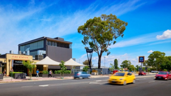
Media gallery
Category: Consultation
The City of Norwood Payneham & St Peters is undertaking the Glynde Vehicle Access Study to understand vehicle movements and access needs in the Glynde Study Area (view or download map below).
The study seeks to identify opportunities to improve:
- Road safety
- Vehicle access
- Parking for businesses, employees, residents and the wider community.
Why the study is needed
The study builds on the 2023 Glynde, Payneham, Payneham South, Firle, Trinity Gardens and St Morris Traffic Study, which identified the need for further investigation into large vehicle access within the Glynde Employment Precinct.
Many businesses in this precinct rely on large vehicles for deliveries and day-to-day operations. Currently, routes for these vehicles are not clearly defined, leading to inconsistent and ad-hoc movements. The precinct also borders residential streets, and the Council regularly receives feedback about road safety and vehicle impacts.
Study area map
View the Glynde Vehicle Access Study area on Google Maps or download the map:
The pink shaded area on the map shows the extent of the study area.
Have your say
We are seeking community feedback to help develop a vehicle access plan that will guide future decisions about road use, parking and infrastructure in Glynde.
You can provide feedback in one of the following ways:
1. Online Surveys
- Business Survey: Complete the survey
- Wider Community Survey: Complete the survey
Hardcopy surveys – available at Citizen Services, Norwood Town Hall
2. Drop-in Sessions
Speak with the project team in person at the Payneham Community Centre:
- Thursday 19 February 2026 | 5:00–7:00 pm
- Wednesday 25 February 2026 | 12:00 noon–2:00 pm.
Consultation closes Monday 16 March 2026.